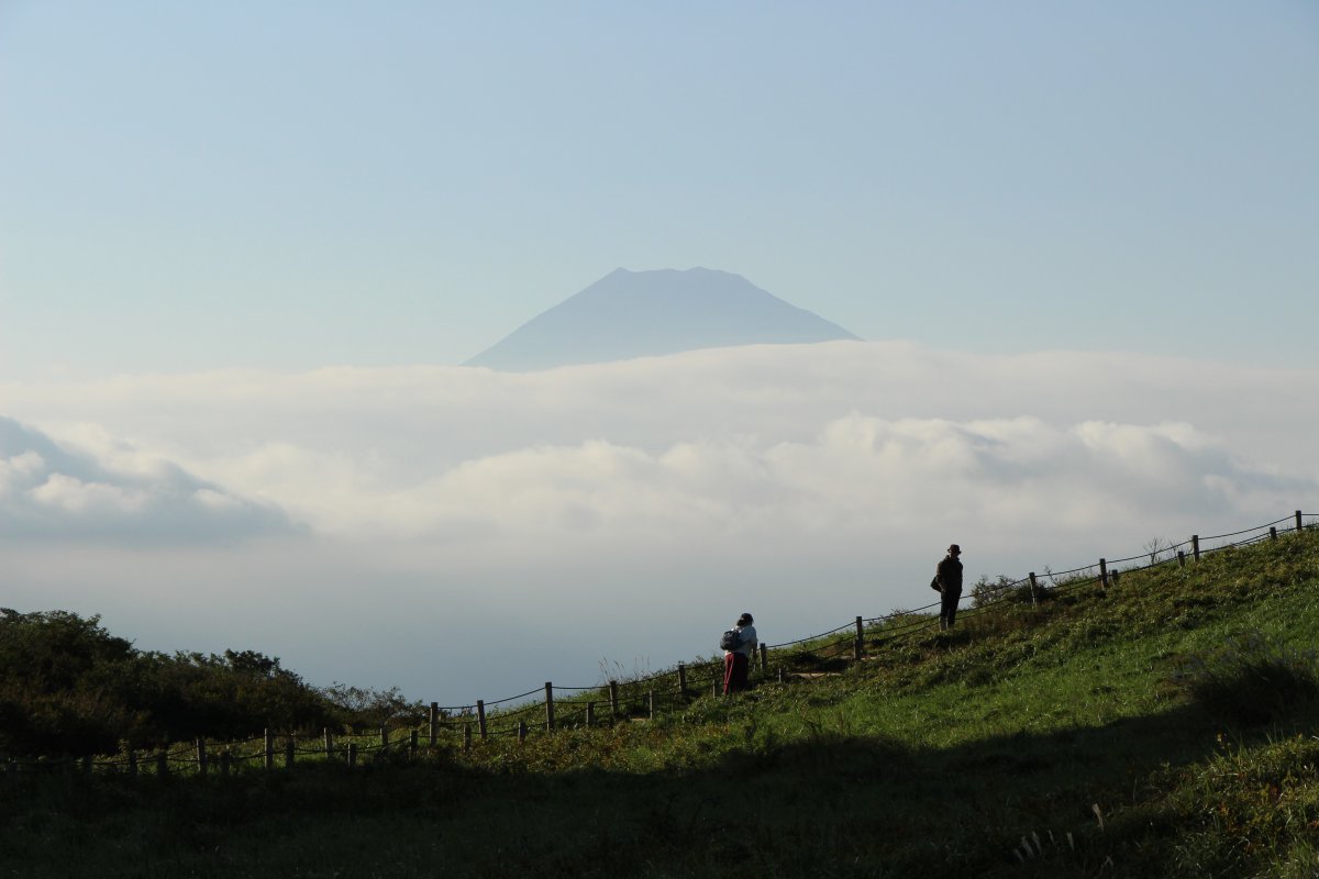
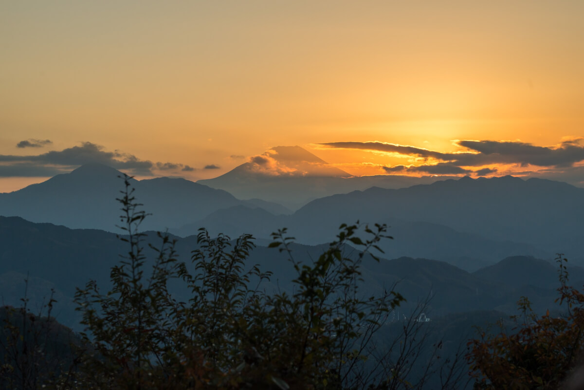
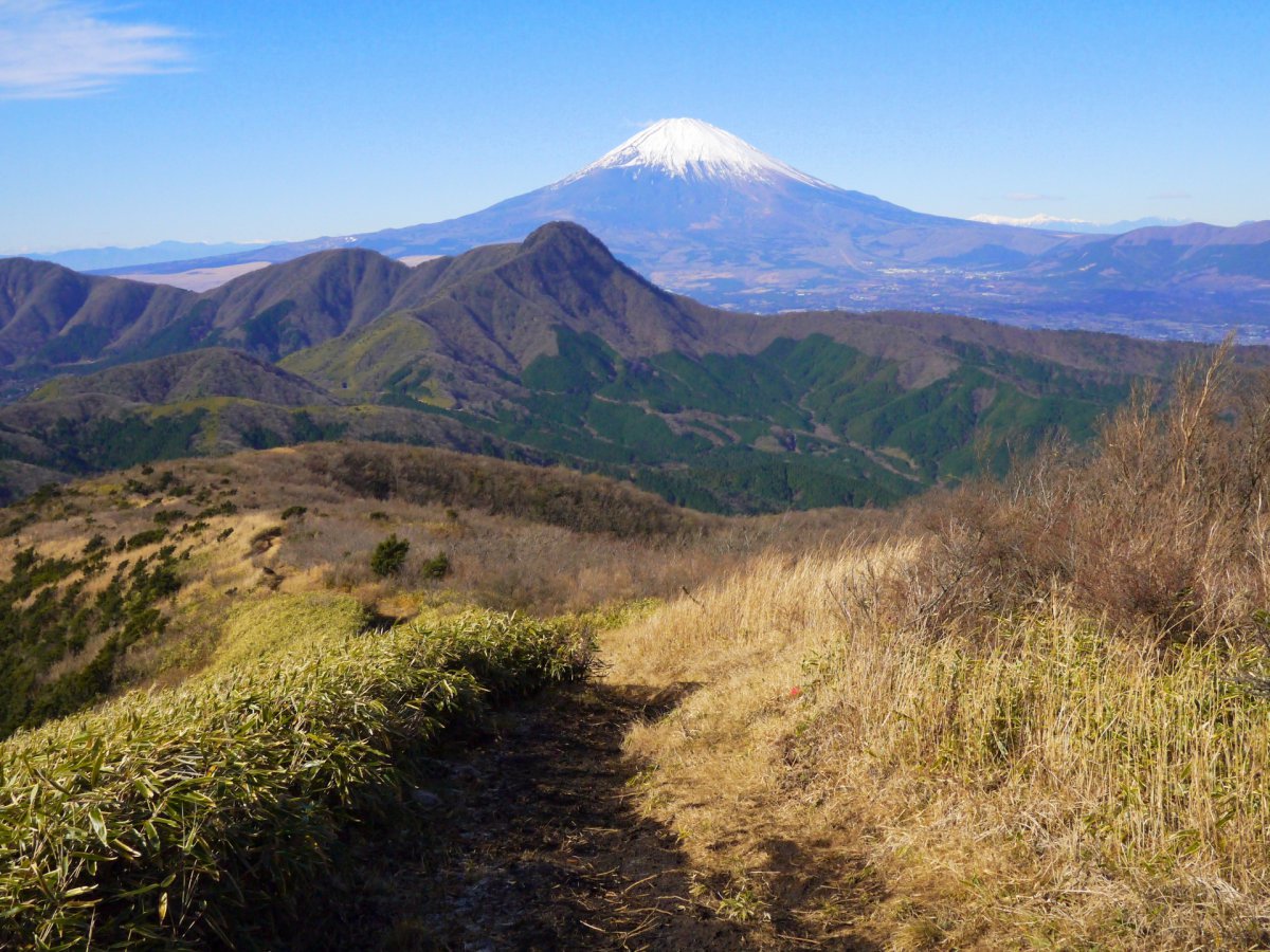
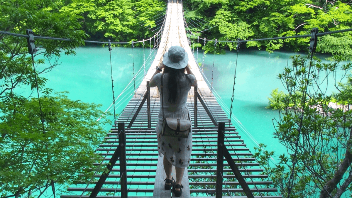
Would you like to get away from busy city life in Tokyo? There are plenty of hiking spots where you can relax being surrounded by beautiful nature in and around Tokyo. Everyone can use some time in nature every once in a while to recharge your battery. The mountains close to Tokyo offer some of the best hikes in Japan. Also, because most are so close to the city, you can easily do one-day hikes without much planning! Though, if you prefer to make a weekend trip out of your hiking adventure, we have also some overnight options for you. Here is our list of recommended hiking trails, for beginners as well as for the more advanced hikers, with easy access from Tokyo.
1. Mount Takao
Located in the city of Hachioji in Tokyo, Mount Takao (599m) is one of the most visited hiking spots in and around Tokyo with 2.5 million visitors annually. Among the nine hiking trails, the easiest and the most popular one is the trail number 1 (about 3.8 kilometers), which is broad, mostly paved and passes all the major sites along the way to the top. The other trails are still well accessible, though narrower and unpaved and offer different natural sceneries along the way.
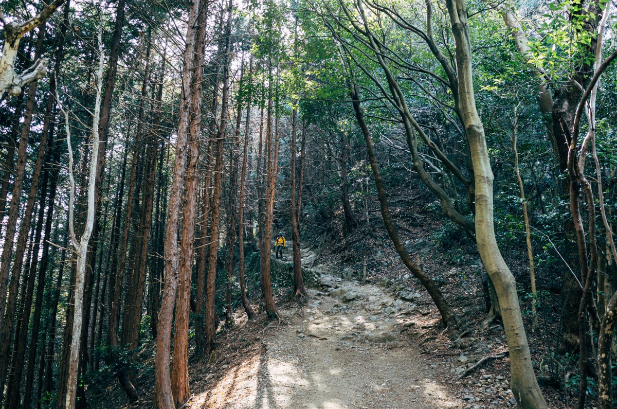
There are also a cablecar and chair lift that lead halfway up the mountain. Near the cablecar’s upper station, you can look out over Tokyo and spot Mount Fuji in a distance on clear days.
From the summit of Mount Takao, there is larger network of hiking trails which connect Mount Takao to the many peaks of the nearby Chichibu-Tama-Kai National Park.
How to access Mount Takao
From Shinjuku JR station take Keio Express Train bound for Takaosanguchi and get off at Takaosanguchi station (about 1 hr).
2. Mount Jinba
Mount Jinba is 857 meters tall situated right on the border between Tokyo and Kanagawa Prefecture. A couple of kilometers away from the popular Mt. Takao. This mountain is lesser known, so if you are looking to truly get away from the (tourist) crows, this is your option!
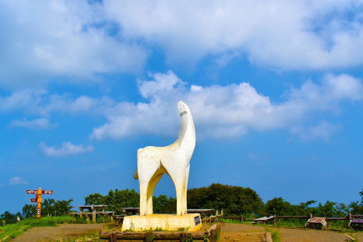
There are several hiking trails from the Tokyo side as well as from Kanagawa side, but most people start their ascends from Kanagawa side. From JR Fujino station, take a bus to Jinba Tozanguchi bus stop from where you have several options of hiking routes. Ichinoone route is recommended for beginners. It is about 4.5 kilometers and offers gentle slopes to the top of Mount Jinba, it will take you about 1.5 hrs to reach the summit. A large white statue of a horse on the summit of Mount Jinba is the landmark of the mountain and a good photo spot for the hikers.
How to access Mount Jinba
From Shinjuku station, take JR Chuo Line to Takao station, then take JR Chuo Main Line bound for Matsumoto, and get off at Fujino station (about 1 hr).
3. Mount Fuji
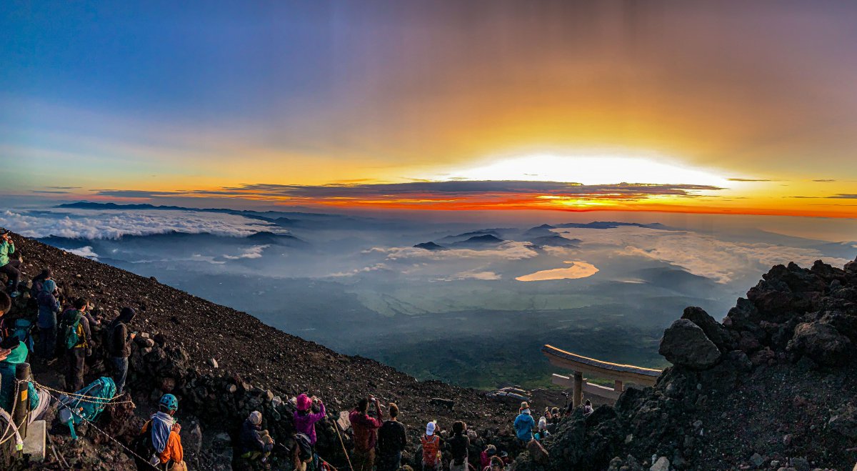
This list would not be complete without mentioning Mount Fuji. The climbing season of Japan’s landmark last from approximately early July until September, when all the facilities are open and it is safest to make your way to the summit. Most people start their ascend at one of 5th stations but did you know you there are also hiking trails at the base of Mount Fuji? You can start all the way at Mount Fuji Station or alternatively at Fujiyoshida 1st station. The 6km from the 1st station to the 5th will take approximately 2 hours to complete. You can hike this part all year round (when weather circumstances permit)!
To make most out of your day, why not have a private tour?
▶Mt. Fuji Pilgrim Hiking (1st to 5th Station)
How to access Mount Fuji
From Shinjuku there are direct buses to Kawaguchiko station and Mount Fuji station (just under 2 hrs).
4. Mount Mitake
Mount Mitake is a very popular hiking spot located in the Okutama region in western Tokyo. The mountain has an altitude of 929 meters and at the summit there is a beautiful shrine. To get to the shrine, you can take the Mitake Cablecar and walk 20 – 30 minutes on the paved trail to the mountain’s summit. It is also possible to walk all the way from the bottom of the cable car, though this is not the prettiest route and will take you quite some time. Instead we recommend you to take the cable car and enjoy the hikes that start at the shrine at the top.
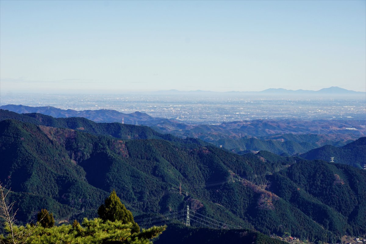
From the Mitake Visitor Center near the upper station of Mitake Cablecar, you have several hiking options to neighbouring peaks and valleys. One of the most popular trails is to walk around the Rock Garden, which is a narrow forested valley with picturesque stream, lots of moss-covered stones and waterfalls. It is about 1.5 kilometers and takes about 2 hours for the roundtrip.
If you are looking for a short weekend trip, you can also spend the night at a shukubo, a Shinto priest lodging and have a traditional Japanese experience, sleeping at the tatami mat and eating home-cooked food while absorbing the beautiful view at night too.
How to access Mount Mitake
From JR Shinjuku station, take JR Chuo Line to Ome station (about 75 min). Take JR Ome Line bound for Okutama and get off at Mitake station (about 20 min). From Mitake station, take Nishi Tokyo Bus and get off at Cablecar-shita bus stop (about 10 min).
5. Mount Odake
Mount Odake is a neighbouring mountain to Mount Mitake situated in the Okutama region in western Tokyo. Standing 1,227 meters tall, this is also a popular hiking destination in Tokyo and often combined with Mount Mitake hiking. Although there are challenging spots on the way to the summit of Mount Odake, it offers trails for beginners as well.
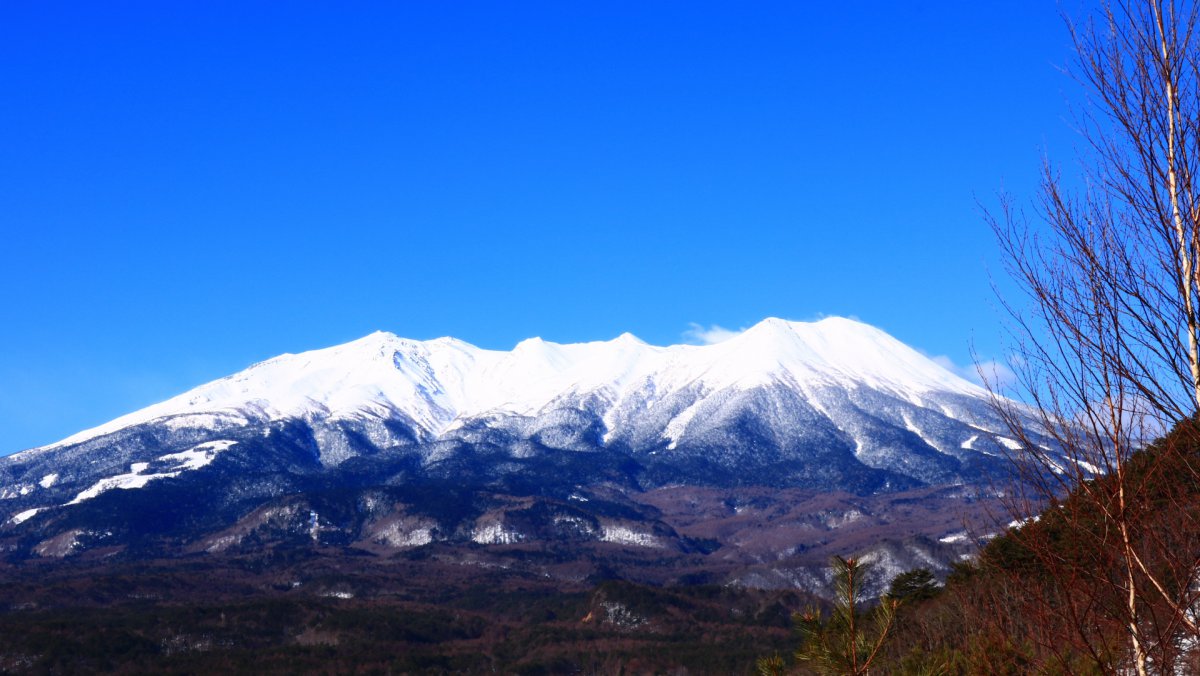
The recommended route for beginners to Mount Odake is to take the Mitake Cablecar, make your way to the shrine on top of Mount Mitake, and head towards Mount Odake. It is about 10.4 kilometers from the shrine to the summit of Mount Odake. The roundtrip is about 4–5 hrs., depending on conditions and your pace. We suggest to hike this route and stay overnight at Shukubo Komadori-Sanso. The relaxing onsen after the hike will be a great experience!
How to access Mount Odake
From JR Shinjuku station, take JR Chuo Line to Ome station (about 75 min). Take JR Ome Line bound for Okutama and get off at Mitake station (about 20 min). From Mitake station, take Nishi Tokyo Bus and get off at Cablecar-shita bus stop (about 10 min).
6. Mount Nokogiri
Mount Nokogiri is situated in the southern part of the Boso Peninsula in Chiba Prefecture with its highest peak at 329 meters. From the main lookout point at the top of the mountain, also known as Hell Peek Point, you can enjoy stunning views of Mount Fuji on a clear day, the huge area of Boso Peninsula, Tokyo Bay and Izu Peninsula.
On the way to the top, you will find a giant Buddha carved into the granite on the side of the mountain. At 31 meters high, it is the largest carved Buddha in Japan. It was created to pray for world peace in 1783.
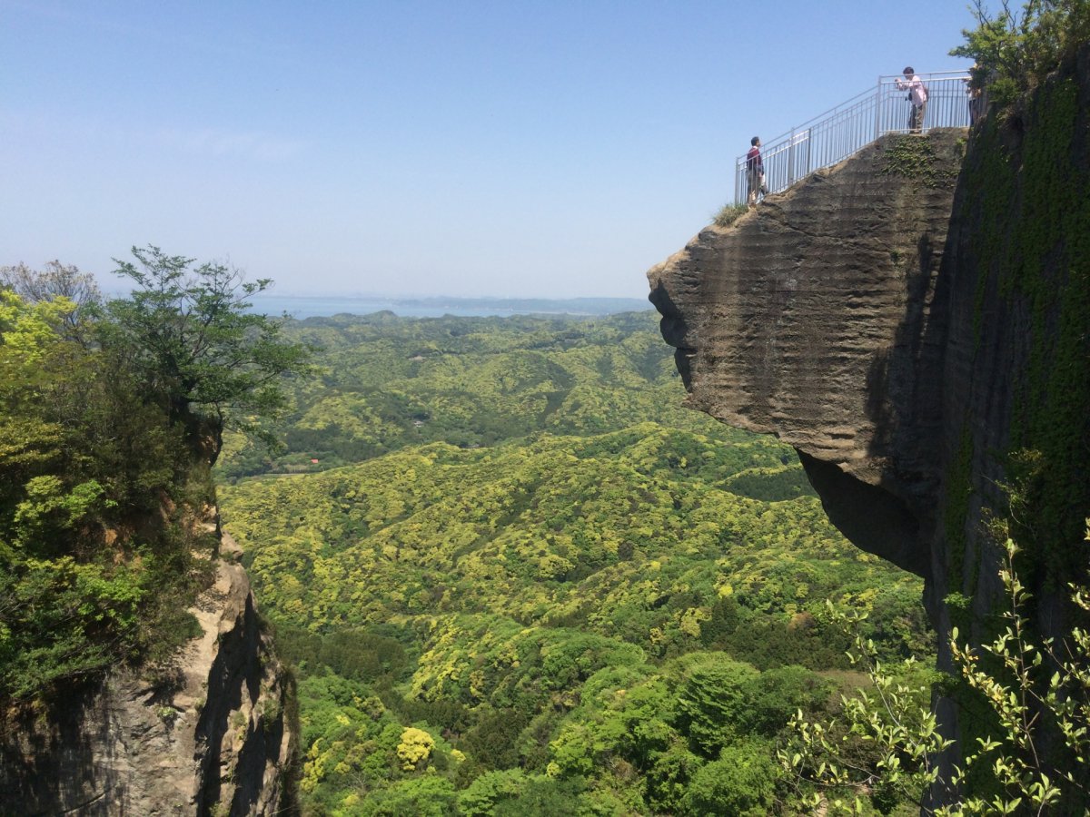
There are two main hiking trails to the top. One is called Kanto Fureai no Michi which is about 8.4 kilometers with several resting spots and observatories. The other route is Shariki-michi route which is about 6 kilometers with some steep slopes. There is also the scenic ropeway to the peak of Mount Nokogiri from the town of Kanaya on the north side of the mountain.
Read more about the best places to visit in Chiba!
How to access Mount Nokogiri
From Tokyo station, take JR Chuo Line to Chiba station, and then take JR Uchibo Line to Hama Kanaya station (about 2 hrs). The entrance to Mount Nokogiri trails are short walk from the station.
7. Mount Kobo
Mount Kobo is situated east of Hadano in Kanagawa Prefecture with 235 meters in height. Together with the adjacent Mount Gongen and Mount Asama, the mountain makes up Mount Kobo Park.
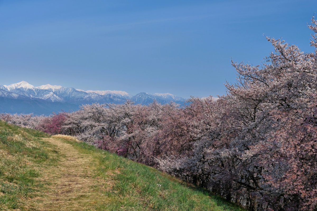
Among the several hiking trails in the area, the most popular one starts at Hadano Station, passing Mount Asama, Mount Gongen, Mount Kobo, Mount Azuma, and ending at Tsurumaki Onsen Station. Where you can take a refreshing dip in Tsurumaki Onsen (¥1,000). This trail is about 7.5 km and takes about 2.5 hrs to complete. On the way you can see seasonal flowers and panoramic views of Sagami Bay, Izu Peninsula and Mount Fuji when the sky is clear. This hiking trail is perfect for beginners as the slopes are rather gentle all the way. The trail is also popular in spring, when lanterns illuminate the flowers in the early evening.
How to access Mount Kobo
From Shinjuku station, take the Odakyu line to Hadano station. From there you can take the bus to the beginning of the trail or walk for 20 min.
8. Tenen Trail Kamakura
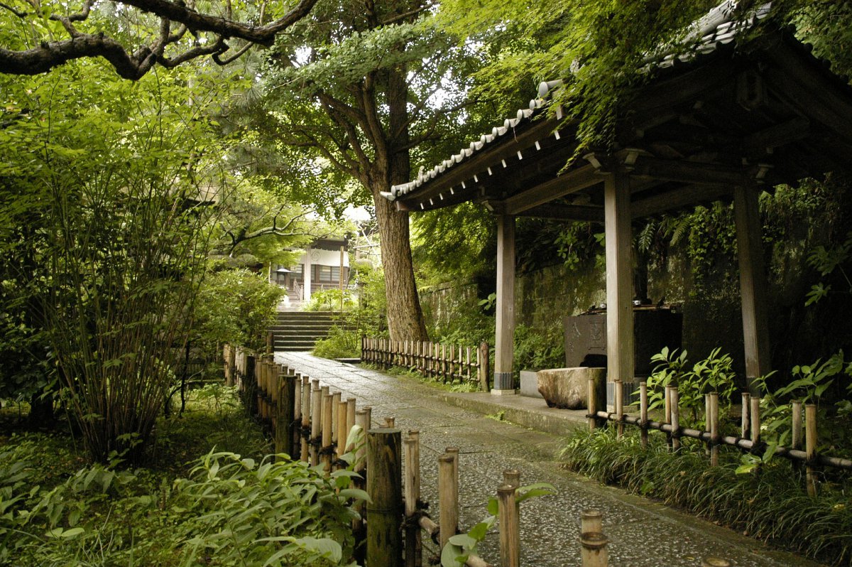
In Kamakura in Kanagawa Prefecture, there are number of nice walking courses for people to enjoy historical temples, beautiful nature and great scenery. The area is a popular day trip to escape Tokyo’s grind.
Read more about the highlights of Kamakura.
The Tenen trail, which is about 7 kilometers starting from Kencho-ji Temple near Kita-Kamakura station and ending at Kamakura station, is one of the most popular walking courses in the area. The course can be enjoyed all year round and offers great views of Mount Fuji and Sagami Bay. You will pass several temples and trails in mountain nature as well as famous sightseeing spots in Kamakura.
How to access the Tenen Hiking course
- Kencho-ji Temple is a 15 min walk from Kita Kamakura station.
- To get to Kita Kamakura Station, take JR Yokosuka Line bound for Kurihama (about 50 minutes).
9. Mount Tsukuba
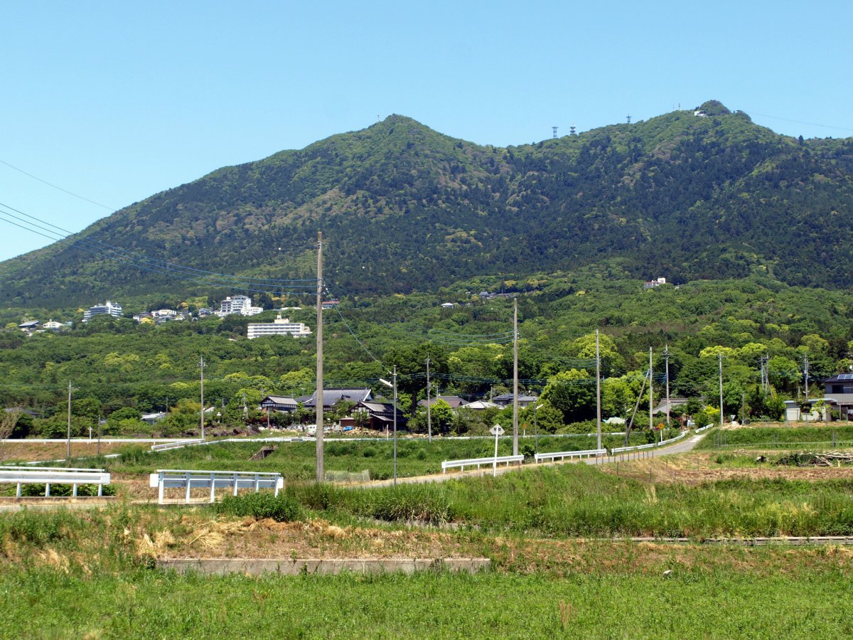
Another popular hike close to Tokyo is Mount Tsukuba. The trail of 6km will lead you to the top of the mountain at 877m in about 3,5 hrs. Mount Tsukuba is actually made out of two summits Mt. Nantai (871m) and Mt. Nyotai (877m) and belongs to one of Japan’s hyakumeizan, translated as 100 Famous Mountains.
The mountain is only 887m high but it still offers some challenges, as the trail is rocky and steep. Most hikers will walk up the mountain and then use the ropeway to return, to save their legs and to take in the view. With good weather conditions you will have excellent views across the Kanto Plain as well as Lake Kasumigaura, the second-largest lake in Japan.
How to access Mount Tsukuba
From Tokyo take the Tsukuba Express to Tsukuba Station (45 min). From there, take the shuttle bus bound for Tsukuba Shrine (40 min). Get off at either Tsukuba Shrine or for the Mt. Tsukuba ropeway, exit at Tsutsujigaoka bus stop (another 10 min).
10. Mount Kintoki
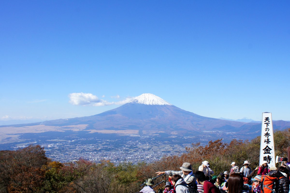
Mount Ashigara, also known as Mount Kintoki, stands on the border of Kanagawa and Shizuoka prefectures, in the Fuji-Hakone-Izu National Park. It is a bit further away from Tokyo, but worth the visit! With an altitude of 1,212 meters, Mount Kintoki offers popular mountain trails suitable for all levels of hikers.
Among the several hiking trails, the most popular one is the ascend from Kintoki Shrine. From the shrine to the top, it is about 4.3 kilometers for roundtrip. The summit of the mountain owns spectacular views of Mount Fuji to the west, Lake Ashi and the sulfurous fumes of the volcanic vents of Owakudani in Hakone City to the south, and Boso Peninsula and Miura Peninsula to the east.
How to access Mount Kintoki
- From Shinjuku Station, take Odakyu Hakone Express Bus Hakone Line, get off at Kintoki Tozan Guchi (about 1hr 45 min).
- From Odawara Station, take Hakone Tozan Bus bound for Chogendai, get off at Kintoki Tozan Guchi (about 45 min).
11. Mount Akagi
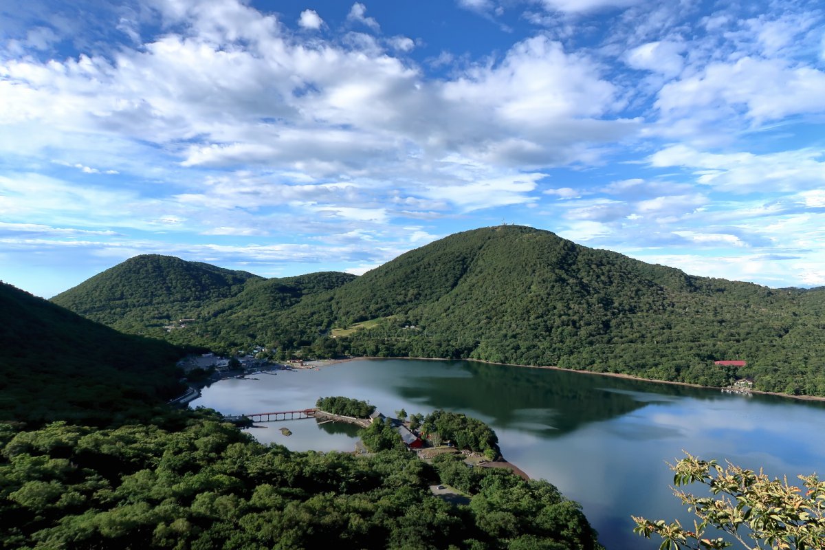
Mount Akagi is one of the three famous mountains in Gunma Prefecture located at the northern edge of the Kanto Plain. The mountain is a 1,828-meter dormant volcano with a caldera on top and several caldera lakes.
The mountain offers hiking trails for all levels of hikers. The ones recommended for beginners include Riheijaya-Kakumanbuchi route a round trip of about 5 kilometers that starts from Riheijaya Shinrin Koen Parking and offers arelaxing hiking in the forest, Fudo-Otaki route another round trip of about 2.9 kilometers starting from Fudo-Otaki Parking and passing Fudo-Otaki Falls, and lastly, the Choshichiro-Otoginomori route. This route is about 6.2 kilometers and starts and finishes at from Kono Parking. The route leads you to a couple of lakes with cobalt green and bright blue colours.
How to access Mount Akagi
From Tokyo Station, take JR Hokuriku Shinkansen to Takasaki station, then take JR Joetsu Line to Maebashi station. From Maebashi station, take the local bus to Akagiyama Visitor Center (about 3 hours).
12. Ozegahara
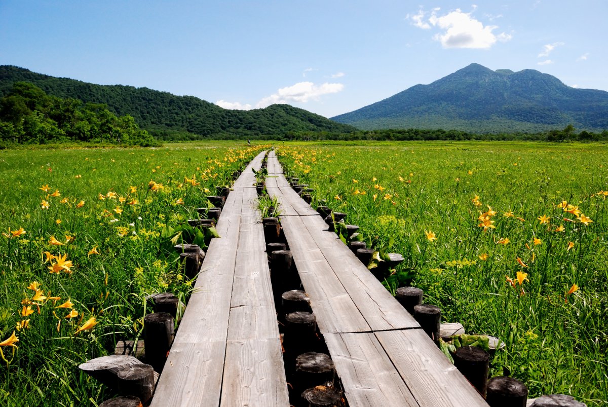
Ozegahara is a high altitude marchland in the Oze National Park in the northern Kanto Region. Ozegahara is famous for wide variety of species of plants and especially popular when the marsh is covered with blooming skunk cabbage in spring and day lilies in summer.
The trails are well maintained with wide elevated boardwalks that pass over the marshland and around the pond. The most popular hiking route is the roundtrip from Hatomachitoge trailhead, which is about 17 kilometers long.
How to access Ozegahara
From Tokyo Station, take JR Joetsu Shinkansen, get off at Jomokogen station. Take Kanetsu Kotsu Bus to Tokura bus stop, take another Kanetsu Kotsu Bus to Hatomachitoge bus stop (about 3 hrs).
Guided Hiking Tours
Most mountain can easily be climbed by yourself, the trails are safe and the signage is good. Though, if you are interested in learning more about the environment and Japan, we recommend to consider booking a guided hike. The guide can pick you up at the hotel or station and lead you to the top while explaining everything about the things you encounter on the way, the beautiful shrines, the history etc.
How did you think about our recommended hiking spots? These places are well connected to Tokyo, though some might be worth considering spending the weekend. Enjoy a great hiking trip at one of these mountains! To receive more information about these areas, guided tours (throughout Japan), please visit our website. We hope you have a good time in Japan!
Follow us on Instagram or Facebook for more travel inspiration. Or tag us to get featured!
Happy travelling!
Other articles you might like
This post contains some affiliate links. When you click through and make a purchase we may receive some commission, at no extra costs to you.
